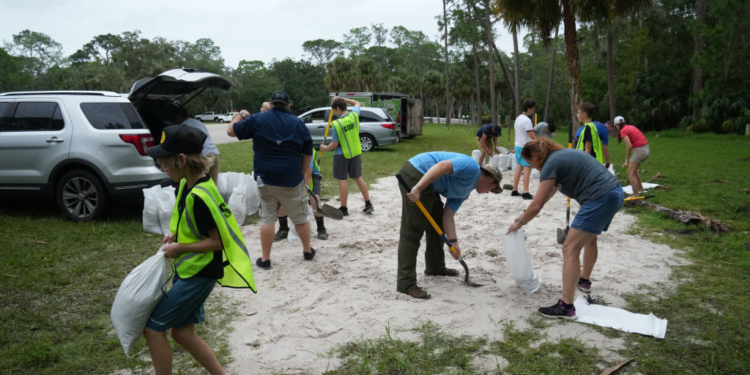
Florida residents are bracing for impact from Hurricane Milton, which has just been designated as a Category 3 storm on Monday.
The National Hurricane Center forecasters are predicting the storm will the western Gulf Coast of Floridaby the middle of the week, CBS News reported.
The strong storm has winds of 120 mph, according to the latest update from the hurricane center Monday morning.
Milton could make landfall Wednesday around the Tampa Bay area. It will stay a hurricane as it moves across central Florida into the Atlantic Ocean, forecasters said.
The good news is the trajectory will likely spare the other southeastern states heavily damaged by Hurricane Helene, that resulted in the deaths of more than 230 people.
Although forecasters predict Milton will be smaller than Helene, it will affect a much more densely populated area, and storm surge could cause problems in some areas, CBS News weather senior producer David Parkinson said.
Miami-Dade County and the Everglades areas have reported flooding, CBS News Miami meteorologist KC Sherman said, adding residents may expect a flood watch through Thursday.
“Milton is moving slowly but is expected to strengthen rapidly,” the hurricane center said earlier Sunday. “There is increasing confidence that a powerful hurricane with life-threatening hazards will be affecting portions of the Florida west coast around the middle of this week.”
A major hurricane is defined as a Category 3 storm or larger. It has maximum sustained winds of at least 111 miles per hour. The latest forecasts predict Milton could make landfall with 120 mph winds.


 Continue with Google