


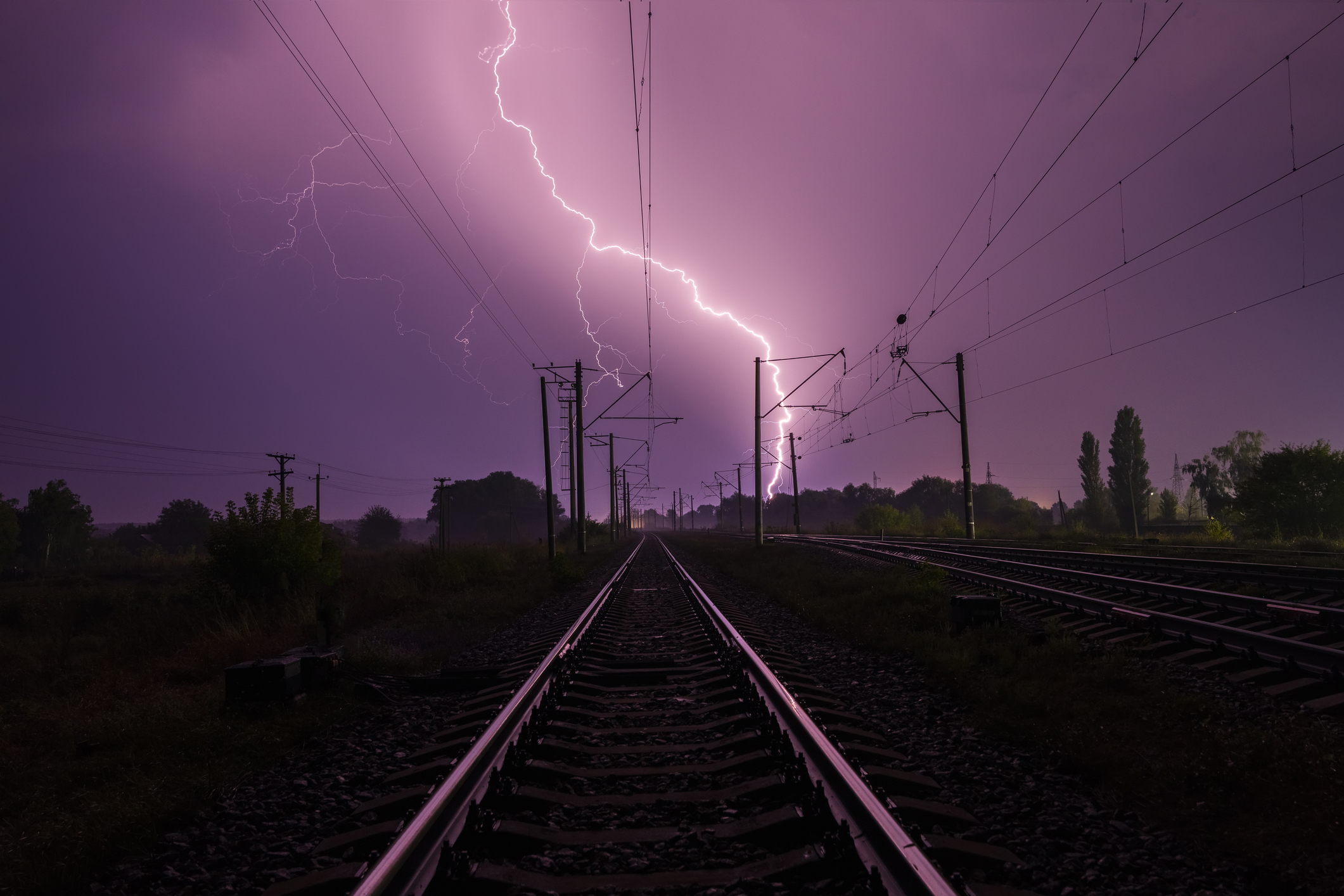
A sudden flash lit up the sky over Mount Pleasant, South Carolina, on Monday morning as a lightning bolt struck with such force it exploded an electrical transformer along Highway 17.
The strike happened during a band of torrential rain and high winds that had already made the morning commute dangerous. In a split second, the calm gray of the stormy sky was replaced with a searing white flash, followed by a fireball that shot upward, sending thick black smoke drifting across the roadway.
Dash cam footage from a Mount Pleasant Police Department vehicle captured the moment. The bolt detonated the transformer instantly, and a chain reaction followed. Several power lines overloaded, erupting into blue flashes and showers of sparks that rained down onto the wet pavement below.
The scene changed rapidly. Traffic lights at the intersection of Highway 17 and Shelmore Boulevard went dark, forcing officers to step in and direct vehicles by hand. The department later confirmed on social media that more than a dozen officers and community service officers managed traffic at seven intersections for nearly three hours while Dominion Energy crews worked to repair the damage.
Police said the bolt also brought down one of the power lines in the area, compounding the disruption. In a tweet, the department called it “a bit too much excitement for a Monday” and confirmed that no one was injured.
WOW!!! Check out this crazy
video that has come in from near Charleston, South Carolina!! There were power lines on the highway where they had it closed off when this happened. This video came from the Mt. Pleasant Police Dept who caught it on thier dashcam. Luckily nobody… pic.twitter.com/KAl24817h5
— Bryan Schuerman, M.A., M.Ed. (@BSchuermanWX) August 12, 2025

The lightning strike came during what has been an unusually calm tropical storm season so far. But forecasters were already tracking a developing system in the Atlantic at the time. Tropical Storm Erin formed Monday in the eastern tropical Atlantic Ocean, several hundred miles east of the Caribbean, and could strengthen into the first hurricane of the 2025 season later this week.
By Monday afternoon, the National Hurricane Center reported Erin was about 430 miles west-northwest of the Cabo Verde Islands with maximum sustained winds of 45 mph. The storm was moving west at 20 mph and is expected to continue on a similar track for several days. While no coastal watches or warnings are currently in place, meteorologists say Erin could reach hurricane strength by the latter half of the week.
It remains too early to know if Erin will pose a direct threat to land, but AccuWeather is warning of dangerous rip currents along the U.S. East Coast from Daytona Beach, Florida, to Nantucket, Massachusetts. Forecasters say even if Erin stays offshore, the storm could produce rough seas, tropical-storm-force winds, and heavy rain in coastal areas.
A powerful hurricane passing east of the United States or west of Bermuda could still impact places like North Carolina’s Outer Banks, Long Island, and parts of New England, including Cape Cod and Nantucket.
An incredible video of a lightning strike in Mount Pleasant, South Carolina is making it’s way around the nation this morning! pic.twitter.com/VhhoyMjH91
— Simon Williams (@SimonWPDE) August 12, 2025
For residents along the Atlantic coast, the lightning strike in Mount Pleasant was a reminder of how quickly weather can turn dangerous — and how fast an ordinary day can be interrupted by forces far beyond control. The fireball, the black smoke, and the sudden darkness at busy intersections left an impression on everyone who witnessed it, whether from behind the wheel or through the lens of a police dash cam.


