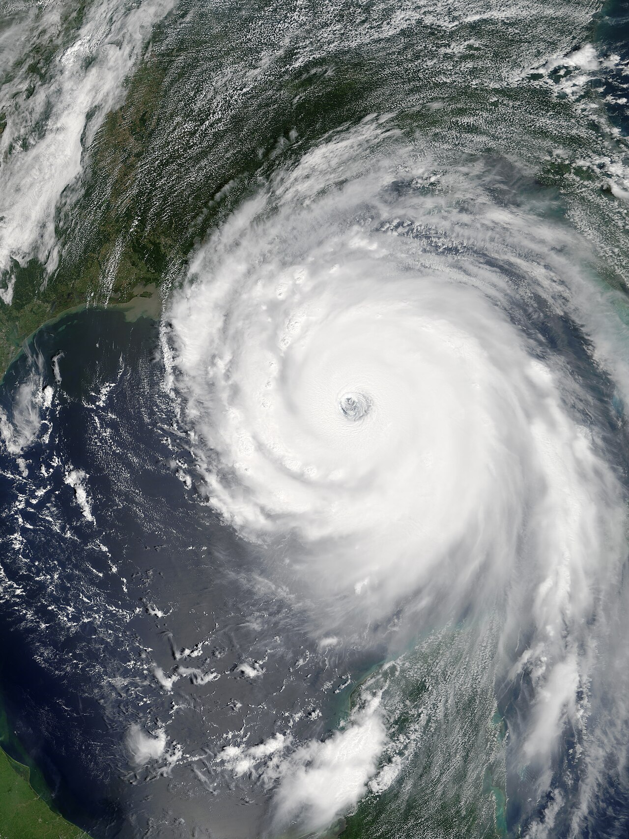
Norbert Forms as Pacific Season’s 16th Storm With Strengthening Ahead
Tropical Storm Norbert has formed as the 16th named storm of an unusually active Pacific season fueled by strengthening El Niño, with forecast guidance suggesting it could become a hurricane by Saturday. While models vary on its path, forecasters note a potential drift toward Hawaii over a week and a half, though land impact remains uncertain for now.
Weather · 9 sources · Sep 10, 2026Read itThe journal
Open the journal →The conversation starts in the journal — be the first to post.
About Hurricane Norbert
Hurricane Norbert is tied with Hurricane Jimena as the strongest tropical cyclone to strike the west coast of Baja California Sur in recorded history. The fifteenth named storm, seventh hurricane, and second major hurricane of the 2008 hurricane season, Norbert originated as a tropical depression from a tropical wave south of Acapulco on October 3. Strong wind shear initially prevented much development, but the cyclone encountered a more favorable environment as it moved westward. On October 5, the National Hurricane Center (NHC) upgraded the depression to Tropical Storm Norbert, and the system intensified further to attain hurricane intensity by October 6. After undergoing a period of rapid deepening, Norbert reached its peak intensity as a Category 4 on the Saffir–Simpson hurricane wind scale, with maximum sustained winds of 135 mph (217 km/h) and a minimum barometric pressure of 945 mbar. As the cyclone rounded the western periphery of a subtropical ridge over Mexico, it began an eyewall replacement cycle which led to steady weakening. Completing this cycle and briefly reintensifying into a major hurricane, a Category 3 or higher on the Saffir–Simpson hurricane wind scale, Norbert moved ashore Baja California Sur as a Category 2 hurricane late on October 11. After a second landfall at a weaker intensity the following day, the system quickly weakened over land and dissipated that afternoon.
Everything about Hurricane Norbert →