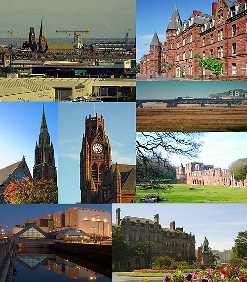
Overview
Barrow-in-Furness was a local government district with borough status in Cumbria, England. It was named after its main town, Barrow-in-Furness. Other settlements included Dalton-in-Furness and Askam-in-Furness. It was the smallest district in Cumbria, but the most densely populated, with 924 people per square kilometre. The population was 71,980 in 2001, reducing to 69,087 at the 2011 Census.
In July 2021 the Ministry of Housing, Communities and Local Government announced that in April 2023, Cumbria would be reorganised into two unitary authorities. On 1 April 2023, Barrow-in-Furness Borough Council was abolished and its functions transferred to the new authority Westmorland and Furness, which also covers the former districts of Eden and South Lakeland.
Background
The area covered by the district was at the edge of the Furness peninsula. It jolted into the Irish Sea, being north of Morecambe Bay and south of the Duddon Estuary. The borough was formed on 1 April 1974 by the merger of the former county borough of Barrow-in-Furness and the Dalton-in-Furness urban district from the administrative county of Lancashire. Despite being one of England's smallest local authorities it had a coastline of 63 km and has equally diverse built and natural environments. This included 274 Listed buildings and four SSSIs, ranking as the seventh highest concentration of 325 districts on the English Heritage Index.
Barrow Borough Council
From Wikipedia (CC BY-SA 4.0).