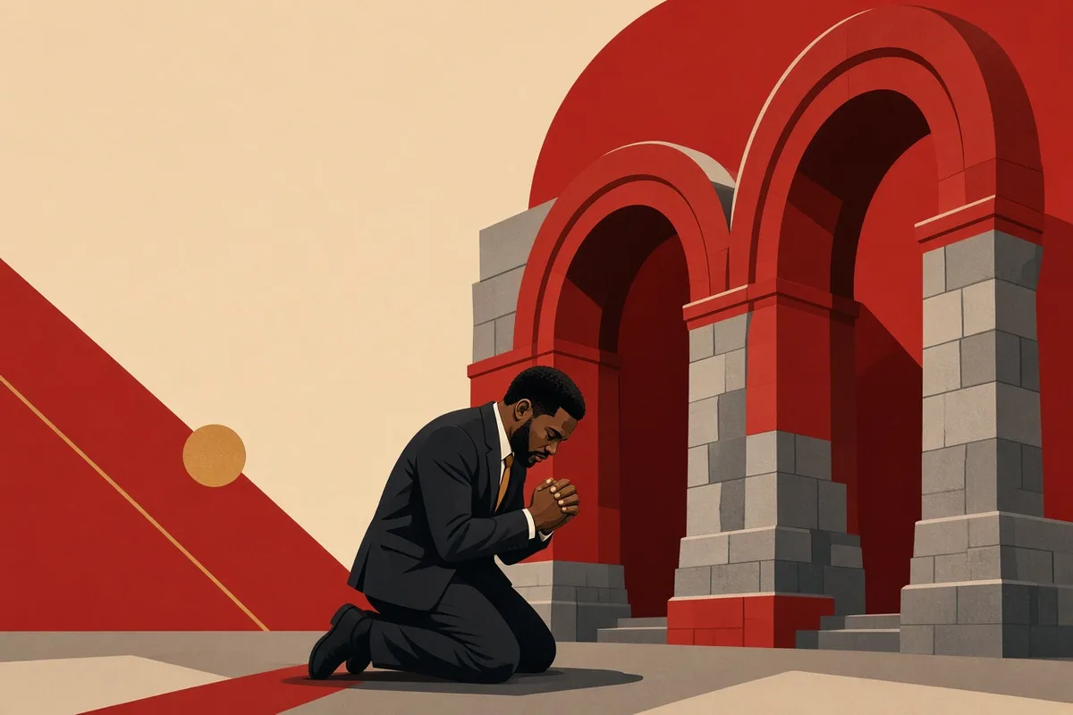



Christopher Columbus Names Island After Savior
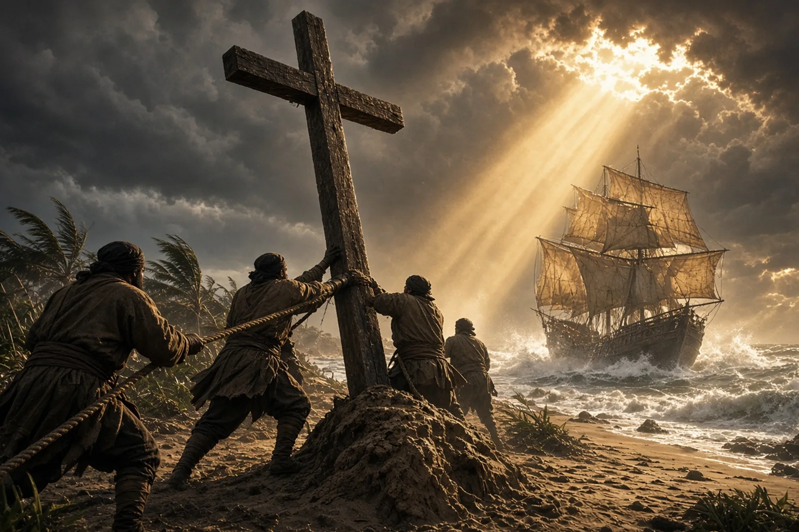
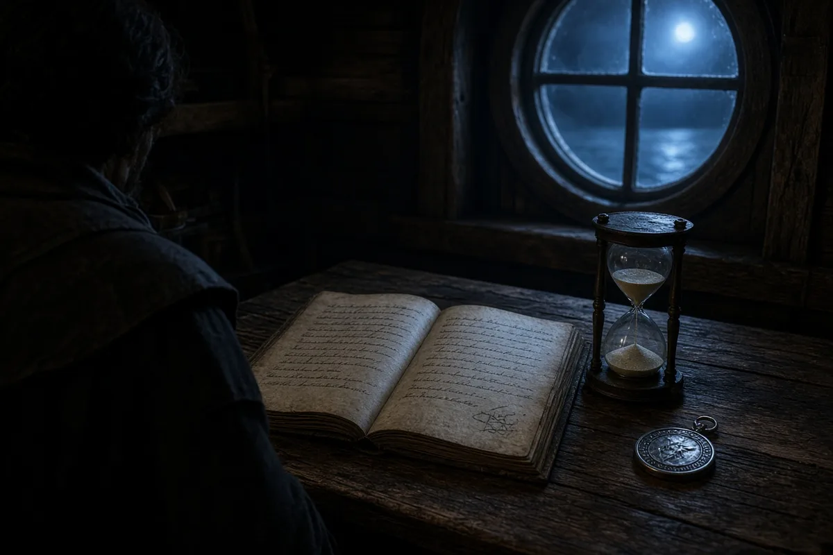
The deck pitched under my boots as the Pinta’s lantern swung ahead of us in the dark. Salt stung my eyes and the wind cut through the canvas we had patched three times since the Canaries. I kept my station by the rail, watching the black water break white along the bow, listening for the call that had not come in thirty days. Columbus stood near the mast with his charts, the same ones he had shown the men back in Palos, the lines drawn in his own hand. He spoke little that night, only to ask the boy at the hourglass to turn it again.
Land appeared first as a line of white that might have been foam. Then it held steady. The shout from the Pinta reached us across the water before our own lookout found his voice. Men poured up from below, bare feet slapping the planks. Columbus ordered the sails shortened and the boats made ready. I went with the first party because my watch had the oars.

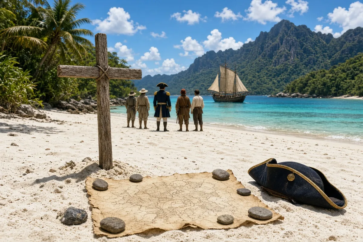
The island lay low and green, fringed with surf. We grounded the boat on pale sand and Columbus stepped out first, the royal banner in one hand and the green cross in the other. He drove the staff into the ground and spoke the words that named the place San Salvador. He said he took it for the sovereigns under the protection of the Savior whose name he had carried across the sea. The men around him answered with a ragged cheer that died quickly when they saw the people watching from the tree line.
Those watchers came forward once the weapons stayed at our sides. They wore no cloth, only ornaments of shell and feather. Their hands were empty. Columbus had the interpreter try words from the coast of Guinea, then signs. The people brought roasted roots and parrots with bright wings. One man touched the metal of a sword hilt and drew back his fingers as if burned. I watched Columbus watch them. He asked their name for the island and wrote it beside his own in the book he kept open on his knee.
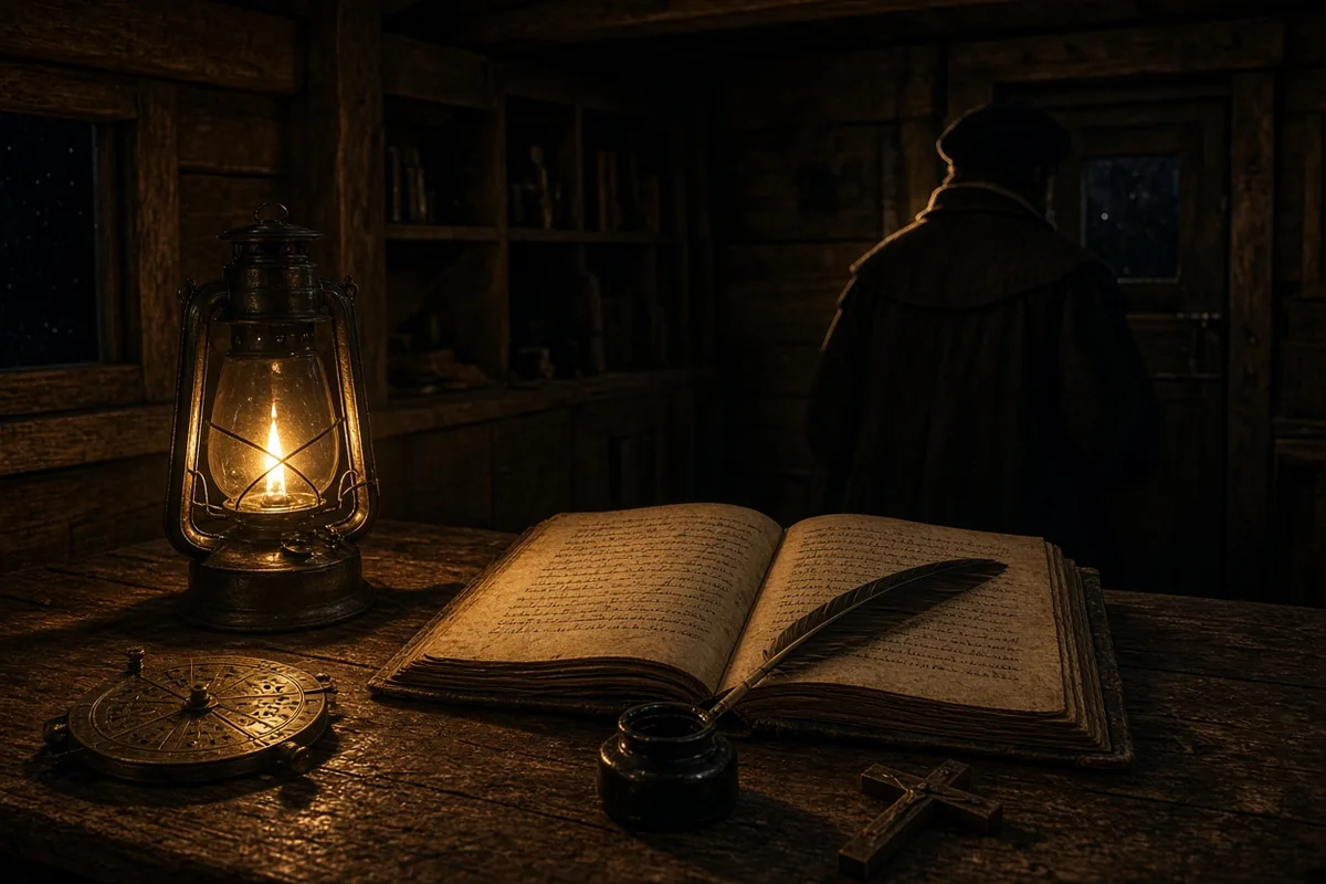
We stayed three days. The water casks were filled at a spring that ran clear over white stones. Columbus walked the shore each morning, noting the trees and the birds, marking distances with the paces of his long legs. He spoke often of the gold he expected to find farther on, yet each time he returned to the cross he had planted. He told the men the voyage had been made under that protection and that the same hand would open the way to the Indies. Some listened. Others only wanted the share of any treasure that might come.
On the fourth morning we weighed anchor and stood south. The people followed us along the beach until the trees hid them. Columbus ordered the sails trimmed for the next island he had seen from the masthead. He named that one Santa Maria de la Concepcion before we reached it, and the one after Fernandina, and the one after that Isabella. Each name went into the log with the date and the wind. The men grew used to the pattern. They stopped asking when we would turn for home.
We reached the larger land the natives called Cuba and then the one they called Haiti. Columbus left thirty-nine men at a fort built from the timbers of the wrecked Santa Maria. He chose the site because the harbor was deep and the people there had traded gold for hawk bells. Before he sailed he set another cross on the hill above the beach and read from the book he carried. The men who stayed behind stood in a line and watched the ships grow small on the horizon.
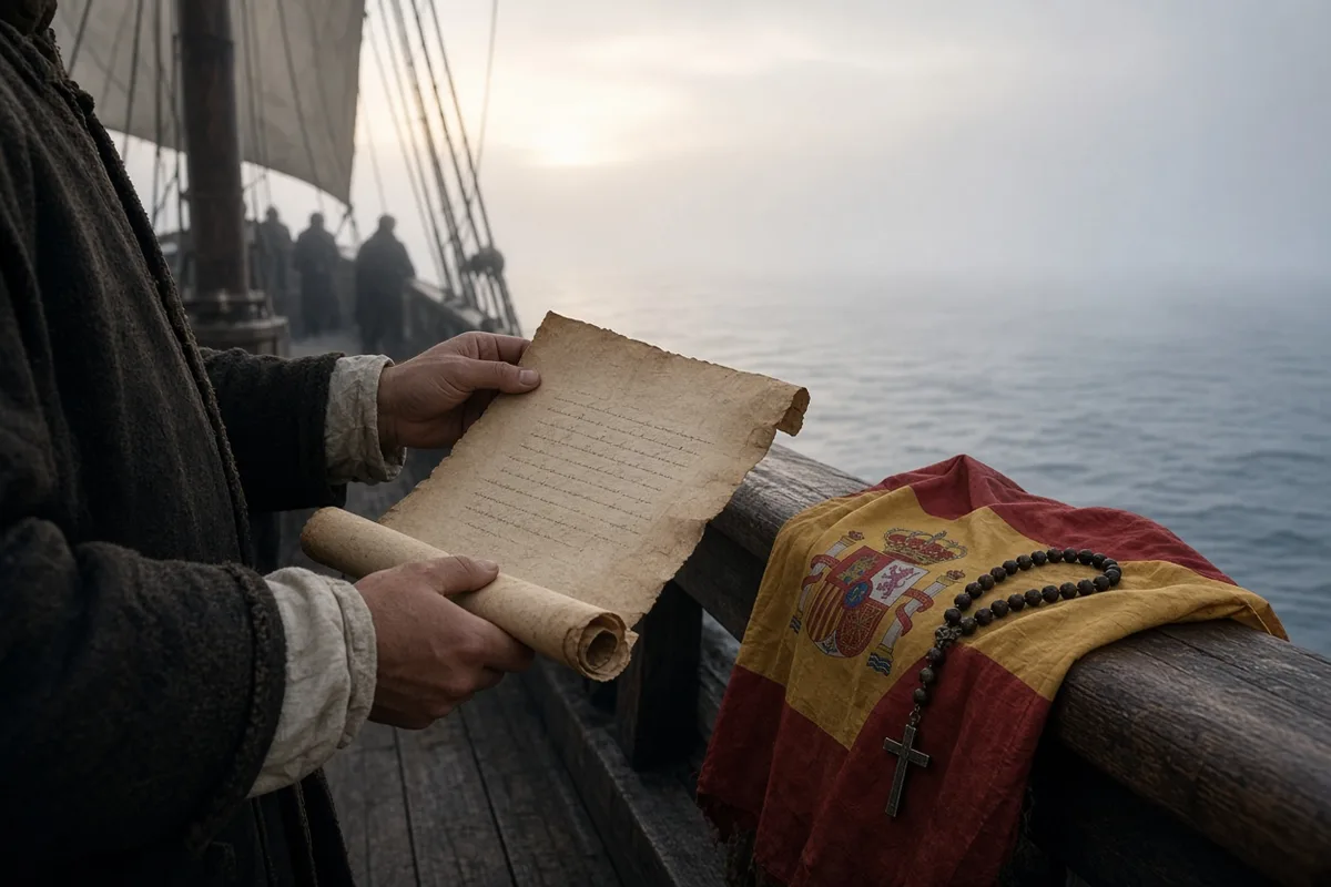
The return crossing took longer. Storms split the fleet. The Niña limped into Lisbon with her mainmast sprung and half the crew sick. Columbus went ashore in his stained coat and presented himself to the Portuguese court before he continued to Spain. When he reached Barcelona the sovereigns received him in the hall where the court had gathered for the victory over Granada. He laid out the parrots, the cotton, the small pieces of gold, and the six people he had brought across the ocean. They stood quiet while the hall watched them.
He made three more voyages. Each time he carried the same book and the same banner. He named more islands after saints and after the royal family. He wrote in his letters that the gold and the spices would one day pay for the recovery of Jerusalem. The Crown removed him from the governorship after complaints from the men he had left behind, yet the names he had given remained on the charts. Ships still sail past the low green island that was once called Guanahani. The cross he planted is gone, but the name San Salvador still marks the place where he first stepped onto the sand and spoke the word that bound the voyage to the one he served.
In the months after the audience at Barcelona, Columbus received the title of Admiral of the Ocean Sea and the right to one-tenth of all trade from the new lands, as recorded in the capitulaciones signed on 17 April 1492 at Santa Fe. He returned to Seville in the spring of 1493 and began fitting out seventeen vessels for the second crossing, loading them with five hundred settlers, seeds of wheat and barley, and twenty-five horses purchased from the royal stables at Cordoba. The fleet departed Cadiz on 25 September 1493 and reached the Lesser Antilles in November, where Columbus named the island of Guadeloupe after the monastery of Santa Maria de Guadalupe in Extremadura. He left his brother Diego in command at the rebuilt settlement of La Isabela on Hispaniola while he sailed westward to explore the southern coast of Cuba, noting in the journal entry for 12 June 1494 the latitude of twenty-one degrees north and the presence of mangrove thickets that extended for twelve leagues without a break.
The Crown revoked his governorship in 1500 after Francisco de Bobadilla arrived at Santo Domingo with royal authority and placed Columbus in irons for the return voyage aboard the caravel La Gorda. The admiral reached Cadiz on 25 November 1500 still wearing the chains, which he later ordered hung above his tomb. His third voyage, begun on 30 May 1498 from Sanlucar de Barrameda with six ships, took him to the island of Trinidad on 31 July and then to the mainland at the mouth of the Orinoco, where he recorded the fresh-water current that carried the ships ten miles offshore. The fourth and final voyage left Cadiz on 11 May 1502 with four caravels and one hundred forty men, including his son Ferdinand; the ships reached Martinique on 15 June and then turned westward, arriving off the coast of Honduras on 30 July after a storm that carried away the ships’ boats and most of the provisions.
Columbus spent the winter of 1502-1503 careened at Puerto Santa Gloria on Jamaica after the ships were declared unseaworthy. The local cacique supplied cassava and fish in exchange for hawk bells and red caps, while the stranded men built two open boats from the timbers and attempted to reach Hispaniola, a distance of one hundred eight miles across open water. Relief arrived only on 29 June 1504 when a caravel sent by the governor of Hispaniola appeared off the beach. Columbus returned to Spain on 7 November 1504 and took up residence in a house near the Alcazar in Seville, where he continued to press the crown for restoration of his titles until his death on 20 May 1506. His body was first interred in the Franciscan monastery of San Francisco in Valladolid, then moved in 1509 to the Carthusian monastery of Las Cuevas in Seville, and later, in 1542, transferred by his grandson Luis Colon to the cathedral of Santo Domingo.
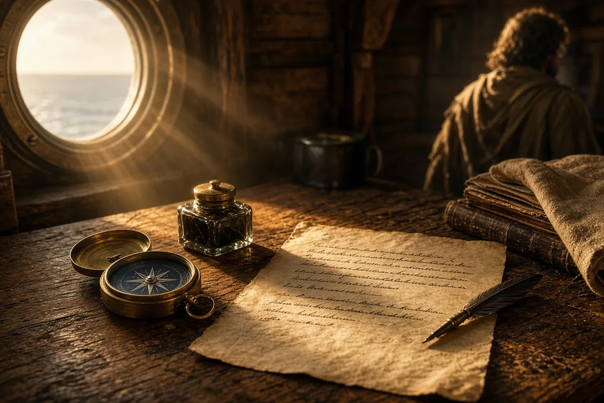
The island Columbus had named San Salvador remained under Spanish administration until 1783, when it passed to British control along with the rest of the Bahamas under the Treaty of Paris. A lighthouse of cut limestone was erected on the southwestern point in 1817 by order of Governor Charles Cameron, standing seventy-two feet high and visible for eighteen miles at sea. In 1926 the island, then called Watlings, was officially renamed San Salvador by the Bahamian legislature to match the designation on sixteenth-century charts. The site of the 1492 landing is marked today by a concrete cross erected in 1956 by the Bahamas Historical Society at Long Bay, coordinates twenty-four degrees five minutes north, seventy-four degrees twenty-eight minutes west, where tide gauges record a mean range of two point eight feet.
Archaeological work conducted between 1983 and 1990 by the University of Florida under William Keegan recovered Spanish olive-jar sherds and a single copper coin minted in 1474 at the possible beach campsite, though the exact landing spot remains disputed between scholars favoring Samana Cay and those favoring Watlings Island. The present settlement of Cockburn Town, population eight hundred twelve according to the 2010 census, contains a small museum housed in a former police station that displays a replica of Columbus’s banner and a copy of the 1493 letter to Luis de Santangel in which the admiral wrote that the people “go naked as their mothers bore them” and that he had taken possession “for the King and Queen, my Sovereigns, with proclamation and with the royal standard displayed.” A cruise-ship pier built in 2019 now receives vessels carrying up to four thousand passengers on days when the trade winds blow from the southeast at ten to fifteen knots.
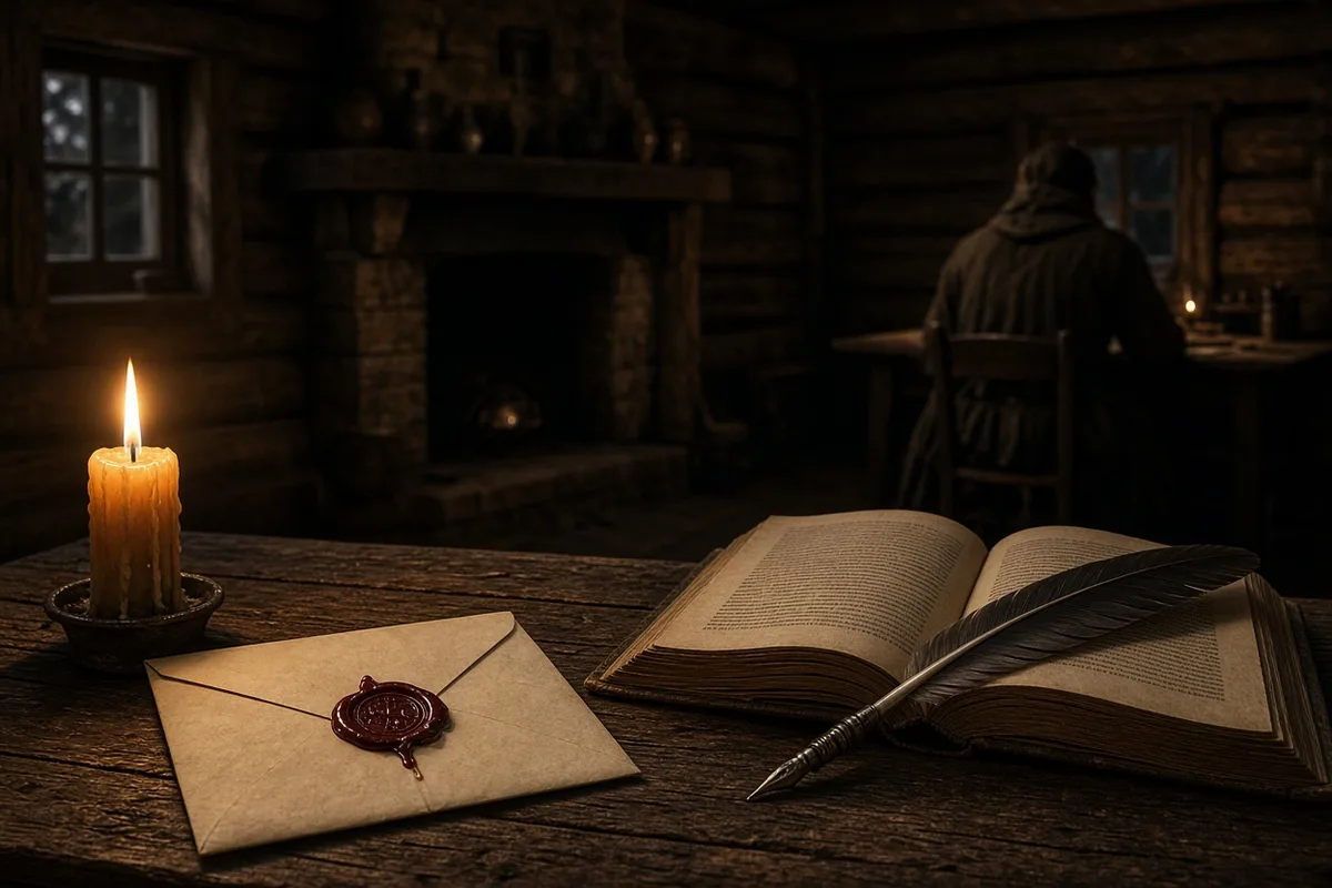
The last image is of a park ranger named Samuel Rolle, born in 1958 on the island, who each morning at first light walks the same stretch of pale sand where the boats grounded, carrying a plastic water bottle and a radio tuned to the Nassau marine forecast, pausing at the concrete cross to note the date and wind direction in a notebook before continuing along the tree line.
He continues along the tree line for another four hundred yards, passing the stand of seagrape where the 1983 University of Florida team under William Keegan placed its first test pit and recovered a single copper maravedi dated 1474. At the northern end of Long Bay he checks the tide gauge maintained by the Bahamas Department of Marine Resources, recording a reading of two point seven feet at 0632 hours on 12 October 2023 and noting the water temperature of twenty-eight point four degrees Celsius in the same notebook that also contains the daily wind entries. From there the path turns inland toward the concrete monument erected by the Bahamas Historical Society in 1956, its base inscribed with the latitude twenty-four degrees five minutes north and the longitude seventy-four degrees twenty-eight minutes west.
Near the monument stands the one-room schoolhouse built in 1952 and still used for grades one through six, where teacher Elizabeth Rolle, no relation to the ranger, instructs twenty-three pupils using a 2017 edition of the Bahamas Social Studies curriculum that includes the 1493 letter to Luis de Santangel. The ranger stops at the school gate to deliver a plastic container of fresh water drawn from the spring at Sandy Point, the same source Columbus described on 15 October 1492 as “a very large lagoon with a narrow entrance.” He exchanges the container for a printed copy of the Nassau marine forecast issued at 0500 hours by the Department of Meteorology, which predicts easterly winds at twelve knots and a slight chance of showers after 1400.
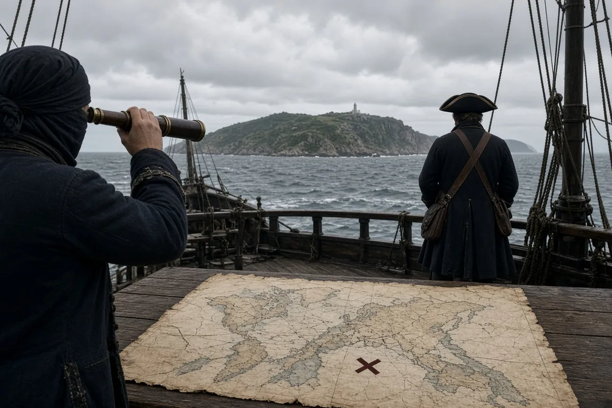
By mid-morning the ranger reaches the small concrete jetty where the mail boat M/V Legacy arrives each Tuesday from Nassau, carrying an average of one hundred eighty sacks of freight and twelve to fifteen passengers. On 3 October 2023 the vessel off-loaded two pallets of bottled water and a replacement pressure gauge for the island’s reverse-osmosis plant, which produces thirty-two thousand gallons per day from a well drilled in 1998 at a depth of one hundred ten feet. The ranger signs the delivery manifest, noting the time as 1047 hours, then walks the quarter-mile road to Cockburn Town to post the previous week’s wind and tide records at the district administrator’s office.
Inside the former police station that now houses the New World Museum, curator Michael Bethel displays the 2019 scale model of the 1492 fleet built by naval architect Alfredo Tello of Seville, complete with each vessel’s documented tonnage and sail area. The model incorporates the dimensions recorded in Columbus’s 1493 letter: the Santa Maria at approximately one hundred tons, the Pinta at fifty, and the Niña at forty. Visitors on cruise-ship days, which numbered forty-seven in 2022, may listen to a looped recording of the admiral’s own words from the 12 October entry: “I took possession for their Highnesses, by proclamation and with the royal standard displayed.”
At 1400 hours the ranger returns to the cross to replace a faded Bahamas flag that has flown since the 2019 visit of the tall ship El Galeón, whose crew of twenty-four reenacted the landing using period-correct hemp lines and canvas. He measures the new flag’s halyard at eighteen feet and secures it with a bowline knot before checking the radio again for any updated gale warnings. The forecast now includes a tropical wave three hundred miles east of the island, expected to bring winds to twenty-five knots by the following evening.
In the late afternoon he visits the cemetery behind the Anglican church of Saint Peter, where headstones record burials from 1848 onward, including that of lighthouse keeper James Lightbourn who died in 1921 after forty-three years of service. The ranger clears dried fronds from the grave of his grandfather, Samuel Rolle senior, who served as the first Bahamian park warden at the site after the 1926 renaming legislation. He places a single shell from the beach at the base of the stone and records the visit in his notebook with the date and the wind direction from the southeast at fourteen knots.
By dusk the ranger has completed the circuit and stands once more at the water’s edge, watching the sun set at 1819 hours on a bearing of two hundred sixty-four degrees. The radio crackles with the final marine bulletin of the day from Nassau, listing the positions of three cruise ships due the following morning: the Carnival Elation at 0700, the Royal Caribbean Freedom of the Seas at 0830, and the Norwegian Escape at 1100, each carrying between three thousand and four thousand passengers. He logs the sunset time, the final wind reading of thirteen knots, and the barometric pressure of one thousand twelve millibars before locking the notebook in the ranger station and walking the short path to his home in the settlement.