



Marshall argues geography narrows viable strategies more than ideology or ambition
In 60 seconds
- Russia's push into Georgia and Ukraine is a permanent reflex to defend an indefensible flat frontier and secure warm-water ports.
- China's grip on Tibet, Xinjiang, Taiwan and the South China Sea follows from mountain buffers and a navy boxed in by the first island chain.
- America's dominance rests on a geographic gift: navigable rivers, two ocean moats and weak neighbors that freed it to project power outward.
- Europe's mountains and many rivers splintered it into rival states; the EU was a deliberate political override of that pull, still contested by Brexit.
- Colonial borders in Africa and the Middle East ignored ethnic and physical geography, stacking man-made mismatch on natural disadvantages.
- Kashmir and Latin America's Andes-Amazon isolation show how contested mountains and missing internal links lock in lasting strategic problems.
The big idea
Marshall argues that mountains, rivers, coastlines and climate shape national power and foreign policy more durably than ideology or any single leader. Physical terrain narrows the set of viable strategies, and rulers who ignore those limits pay for it.
The book in brief
Marshall starts from a simple structural claim: terrain constrains what states can achieve more lastingly than ideology or ambition. He works through regional case studies to show why the same conflict patterns keep returning.
He opens with powers that must compensate for exposed or boxed-in positions, then turns to the rare case of a continent that arrived already secured. Fragmented Europe and the artificial borders of Africa and the Middle East follow, showing how rivers, mountains and colonial lines either split polities or yoked rivals together.
The survey ends with contested Himalayan frontiers and a Latin American interior cut by mountains and jungle. Across every region the same template holds: geography creates incentives any leader faces, and news-cycle explanations that ignore the map miss the durable logic underneath.
Context
Tim Marshall's 2015 book reintroduced a mass audience to geopolitics as a discipline. It cut through news-cycle analysis with an older structural logic built on ten regional case studies of how physical terrain constrains state power.
The key ideas

1
Russia's indefensible plain
Russia's aggressive posture is a permanent reflex to defend a flat frontier with no natural barrier from France to the Urals.
- 1812Napoleon crosses the plain
- 1914Kaiser's armies threaten from the west
- 1941Wehrmacht reaches within sight of Moscow
- 2014Crimea annexed to secure Sevastopol
Marshall opens with Russia because its map is the clearest case of terrain dictating strategy. The North European Plain leaves the country on an exposed eastern end with almost nothing to hide behind.
Napoleon crossed it in 1812, the Kaiser's armies threatened it in 1914, and Hitler's forces surged across it in 1941 to within sight of Moscow. The historical answer has been to push borders outward and create buffer states.
That same logic, Marshall argues, sits behind the Soviet satellite belt after 1945 and later moves in Georgia and Ukraine. Any Kremlin leader faces the same structural incentives: expand the buffer, secure the warm port, distrust the plain.
In practice: The 2014 Crimea annexation is read as refusal to let NATO or EU influence reach the Black Sea coast and risk Sevastopol, Russia's only reliable warm-water base with year-round Mediterranean access.
2
China's barriers and breakout
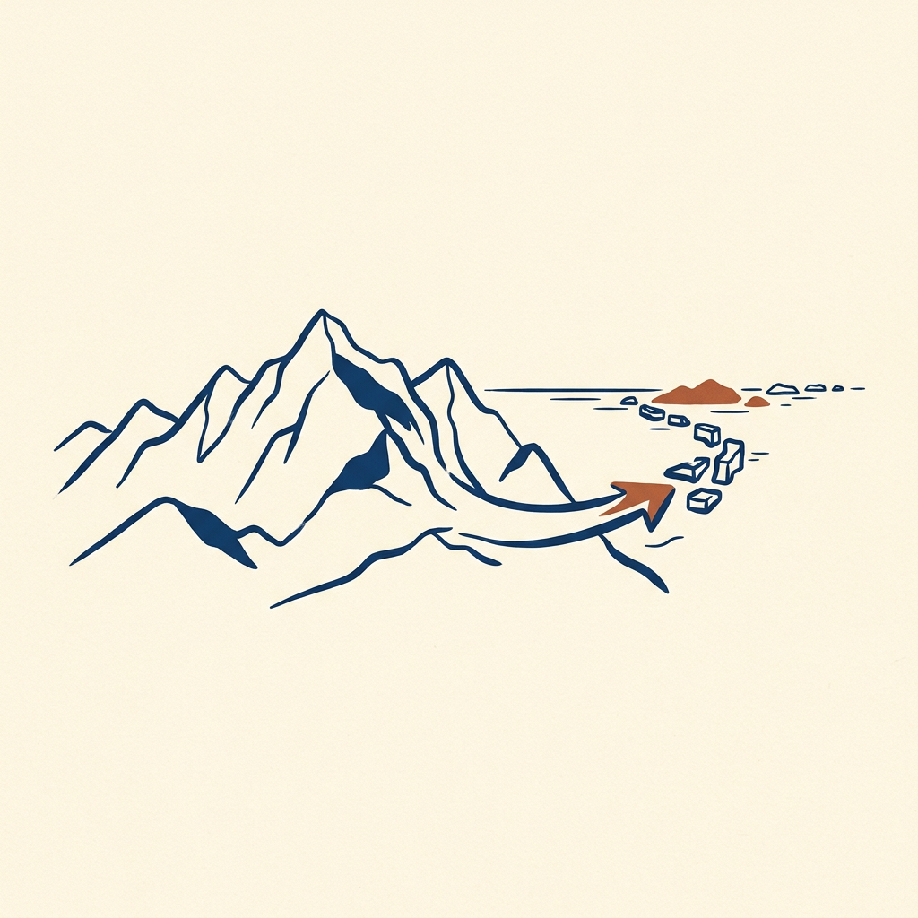
China's internal cohesion and external push both come from a heartland ringed by mountains and deserts yet starved of secure ocean access.
Landward shield
Himalayas, deserts and jungle protect the Han core and make Tibet and Xinjiang strategic buffers
Seaward cage
First island chain from Japan through Taiwan to the Philippines boxes in the navy and elevates Taiwan
Marshall turns next to a landmass sealed by the Himalayas, northern deserts and steppe, and southern jungle. That isolation protected the Han core in the eastern lowlands while turning Tibet and Xinjiang into buffers the way Eastern Europe served Russia.
Tibet matters as the source of major rivers that feed hundreds of millions downstream and as the natural wall that keeps the populous plains from sitting exposed. Xinjiang adds a land corridor to Central Asia plus oil and gas.
Despite a long coast, the navy has historically been boxed in by the first island chain from Japan through Taiwan to the Philippines. Marshall treats Taiwan and the South China Sea artificial islands as the practical linchpin of any Pacific breakout, not peripheral disputes.
In practice: Beijing's tight grip on Tibet and its early-2010s island-building and claims in the South China Sea both follow the need for buffers and sea lanes rather than ideology alone.
3
America's accidental surplus
US global dominance rests less on ingenuity than on a uniquely fortunate map that handed it security, rivers and two ocean buffers.
What others fight for
Buffers, warm ports, breakout from island chains
What the map gave free
Mississippi waterways, two ocean moats, weak neighbors
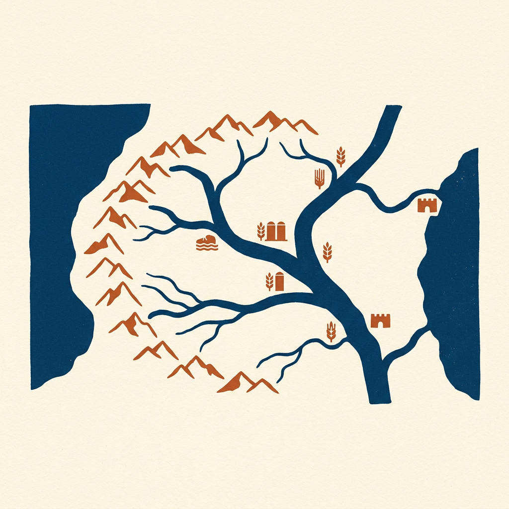
Where Russia and China constantly compensate for exposed frontiers, Marshall shows the United States inherited geography that did most of the strategic work in advance. The Mississippi system gave thousands of miles of navigable internal waterways that lowered trade costs and bound a continental economy together.
The Atlantic and Pacific acted as natural moats once the navy could enforce them. Weak neighbors to the north and south removed the need for large standing land defenses along most borders.
That security surplus, he argues, let the country expand westward, absorb the resource-rich interior, and then project power outward instead of merely defending inward. The material foundation of American reach is largely accidental: a temperate, well-watered, well-defended continent under one flag.
In practice: The Monroe Doctrine of 1823 could declare the Western Hemisphere off-limits to further European colonization because geography already gave the United States the advantage it later enforced with global sea-lane control.
4
Europe's splintered map
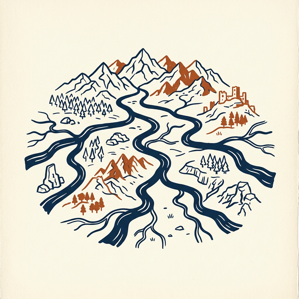
Europe's competing nation-states and its postwar drive to union both follow from mountains and many rivers rather than one unifying artery.
- 1Terrain splitsAlps, Pyrenees, Carpathians and separate river systems create rival centers
- 2States competeKingdoms and nation-states form; Germany unifies late and anxiously in 1871
- 3Political overrideCoal and steel community from 1951 tries to bind France and Germany against another war
- 4Geography pulls backBrexit and EU tensions show the old fragmentation still resisting artificial unity
Unlike China, which centralized around connecting river systems, Marshall argues Europe's Alps, Pyrenees and Carpathians divided the continent into pockets. Multiple rivers—the Rhine, Danube, Rhone and Elbe—created separate economic centers instead of a single spine.
France's relatively flat, well-watered interior favored an early centralized state. Germany's fragmented terrain and exposed central position made unification later, in 1871, and more anxious, feeding the instability behind two world wars.
After 1945, French and German leaders treated binding coal and steel economies together from 1951 as the only way to stop geography from making another round of wars possible. The EU is a political attempt to override fragmentation; Brexit and ongoing tensions show the old pull still working against artificial unity. Britain's Channel separation kept it favoring naval power and offshore balancing over land entanglement.
In practice: Postwar coal-and-steel integration starting in 1951 was framed as a deliberate override of the same fragmented terrain that had kept producing wars.
5
Africa's stacked disadvantages
Persistent instability traces to colonial borders that ignored real geography and ethnicity, compounding few harbors and rivers blocked near the coast.
Natural layer
Few harbors; rivers interrupted by falls and rapids near the coast block interior access
Colonial layer
Berlin Conference borders split ethnic groups and combined rivals with no regard for terrain
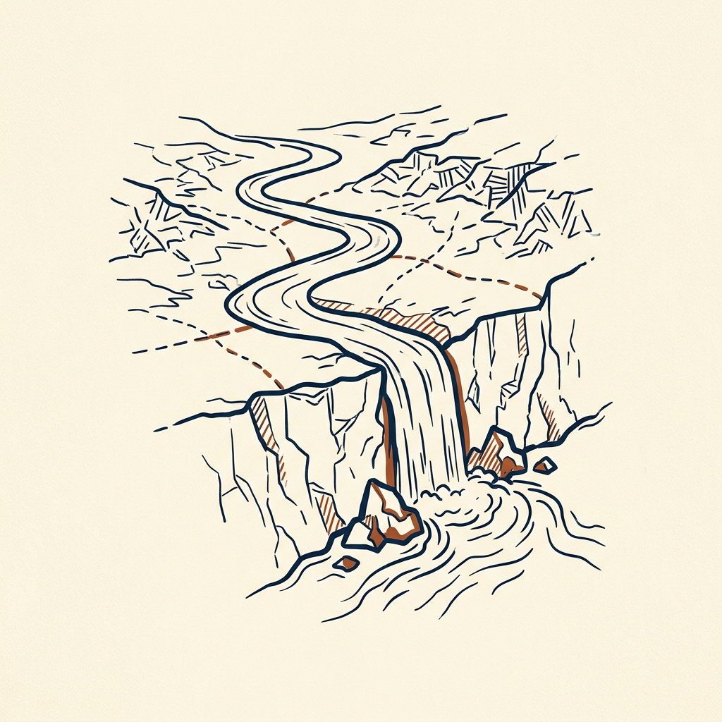
Marshall stacks two layers of misfortune. Naturally, the continent has few harbors relative to coastline length, and rivers hit waterfalls and rapids close to the sea, blocking easy interior access that Europe and North America enjoyed.
The Congo, for instance, is not navigable in one continuous stretch, hampering Central African integration. On top of that, the 1884-85 Berlin Conference drew borders that split ethnic groups and combined rivals, with little regard for rivers, mountains or existing political units.
He is careful that colonial extraction and post-independence governance failures matter enormously. Still, any serious reading has to start from the fact that many African states are administrative leftovers from men in Berlin who had never set foot on the continent, not organic units shaped by terrain and shared identity.
In practice: Nigeria yoked the Muslim Hausa-Fulani north, Yoruba southwest and Igbo southeast into one state, a mismatch that fed the Biafran civil war of 1967-70 and still generates friction; Chad and Mali cut across Saharan nomadic patterns the same way.
6
Middle East lines in sand
Defining regional conflicts stem from post-World War One borders that ignored sectarian and tribal geography on the ground.
25–30M
Kurds left without a state across four countries
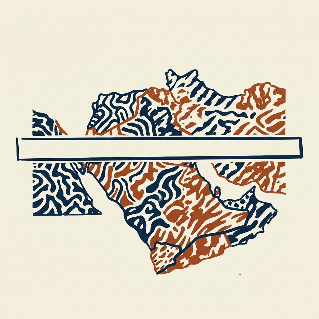
Building on the Africa chapter, Marshall applies the same lens to the Sykes-Picot agreement of 1916, when Britain and France carved Ottoman Arab provinces into spheres with straight lines that paid little attention to Sunni, Shia, Kurdish or other communities.
Iraq is the clearest case: three former Ottoman provinces centered on Mosul, Baghdad and Basra—roughly Kurdish, Sunni Arab and Shia Arab—were stitched into one state under an imposed monarchy. Strongmen suppressed the tensions for decades; after 2003 the centralizing authority vanished and sectarian war followed, with ISIS later straddling the Iraq-Syria line itself another Sykes-Picot border.
The Kurds are the clearest victims: an estimated 25 to 30 million left without a state, split across Turkey, Iraq, Iran and Syria, each resisting autonomy for fear of its own borders. Redrawing a map on paper does not erase the human geography beneath it.
In practice: Israel's pre-1967 narrowness, at points only about 9 miles wide, shaped its security doctrine and reluctance to give up the Golan Heights that overlook its territory.
7
Kashmir's permanent wound
The Kashmir dispute is the direct and probably lasting result of a partition line that left one high, mixed, strategically vital region without a workable solution.
- 1947Partition; Kashmir's ruler accedes to India
- post-1947Three wars substantially over Kashmir
- ongoingMilitarized posts on Siachen; China stakes overlap
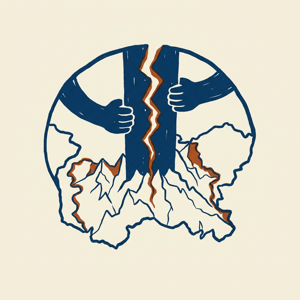
Marshall examines the 1947 Partition of British India, a hasty religious division into Hindu-majority India and Muslim-majority Pakistan that ignored how mixed communities were at the local level. The result was massive violence and displacement.
Kashmir, a Muslim-majority princely state whose Hindu ruler acceded to India, became the unresolved flashpoint. Its mountains border both Pakistan and China and feed the Indus system on which Pakistani agriculture heavily depends, so neither side can treat it as peripheral.
Unlike powers that enjoy a mutually accepted river or range as a final border, India and Pakistan face contested, resource-relevant high terrain. China adds overlapping stakes through claims in Arunachal Pradesh and its alliance with Pakistan, putting three nuclear-armed states into a few Himalayan valleys.
In practice: The two countries have fought three wars substantially over Kashmir since 1947 and still hold militarized high-altitude positions, including on the Siachen Glacier.
8
Latin America's broken interior
Slower regional integration than North America's owes as much to the Andes and Amazon fragmenting the continent as to politics or colonial legacy.
Connected continents
Mississippi or Rhine systems bind interiors and lower the cost of integration
Fragmented south
Andes wall and Amazon interior push economies outward through coastal ports
Marshall closes with a region where geography produced isolation rather than Europe's competing-state pattern or Russia's buffer anxiety. The Andes run the western edge, cutting Pacific countries like Chile and Peru off from eastern neighbors; the Amazon blocks overland trade and settlement across Brazil's interior.
Economies therefore developed facing outward toward Europe and North America via coastal ports rather than toward each other, a pattern that outlasted early-19th-century independence and still shows in relatively low intra-regional trade. Brazil itself kept population and infrastructure concentrated on the coast.
Few rivers work as the Mississippi or Rhine did; the Amazon is massive but runs through terrain too remote to generate dense linked activity. Without internal connectivity, unified regional economic or political action stays hard to sustain, leaving the continent weaker in global geopolitics than its size and resources might suggest.
In practice: Pacific-coast states and Brazil's coastal concentration illustrate how mountains and jungle kept countries oriented seaward instead of toward one another long after independence.
Key terms
- North European Plain The wide flat corridor from France to the Urals that leaves Russia with no natural western shield.
- Buffer zone Territory pushed outward so an invader must cross someone else's ground before reaching the core.
- First island chain The arc from Japan through Taiwan to the Philippines that has historically boxed in China's navy.
- Warm-water port A harbor that stays open year-round; Russia's shortage of them has driven centuries of southward and Baltic pressure.
- Sykes-Picot The 1916 British-French carve-up of Ottoman Arab lands into spheres drawn with little regard for sect or tribe.
- Berlin Conference The 1884-85 meeting that drew African borders ignoring rivers, mountains and existing peoples.
- Security surplus The free strategic cushion the United States got from two oceans, weak neighbors and internal waterways.
- Offshore balancing Britain's island habit of favoring naval power and limited continental entanglement over permanent land commitment.
What to do
- Open a blank map of Eastern Europe and mark the flat corridor and warm-water outlets Russia has always sought.
- Trace the first island chain from Japan to the Philippines and note where Taiwan sits in any Chinese breakout.
- Compare the Mississippi system to the Congo or Amazon on a trade map and list what each can and cannot carry inland.
- Sketch pre-1967 Israel's width at its narrowest and the Golan's overlook to see the security math Marshall describes.
- List one current headline on Ukraine, Kashmir or the Sahel and rewrite it in one sentence of pure terrain incentives.
Questions to think with
- If geography only sets constraints, what would count as evidence that a leader truly escaped them?
- Why do Switzerland and Afghanistan, both mountainous and landlocked, diverge so sharply if terrain is decisive?
- How much of America's reach would survive if the Mississippi had been broken by falls the way African rivers are?
- When should artificial political unity, like the EU, be treated as stronger than the fragmented map underneath?
- Which current technology—air power, cyber, sanctions—most weakens the old prison of mountains and coasts?
The other side
Reviewers, including academic geographers, argue the book risks soft determinism: it explains outcomes after the fact by terrain but rarely states what would falsify the claim, and similar geographies (Switzerland versus Afghanistan) produce opposite results. It underweights institutional accounts such as extractive versus inclusive rules and gives thin treatment to how air power, cyber warfare, satellites and sanctions erode old geographic constraints; at points the prose slides from constraints toward destiny.
Who it's for
Readers who want to know why the same conflicts keep returning, IR students needing an accessible entry before denser theory, and people in defense, diplomacy or global business who need a working mental map of why states act as they do.