


Roger Williams Founds Rhode Island
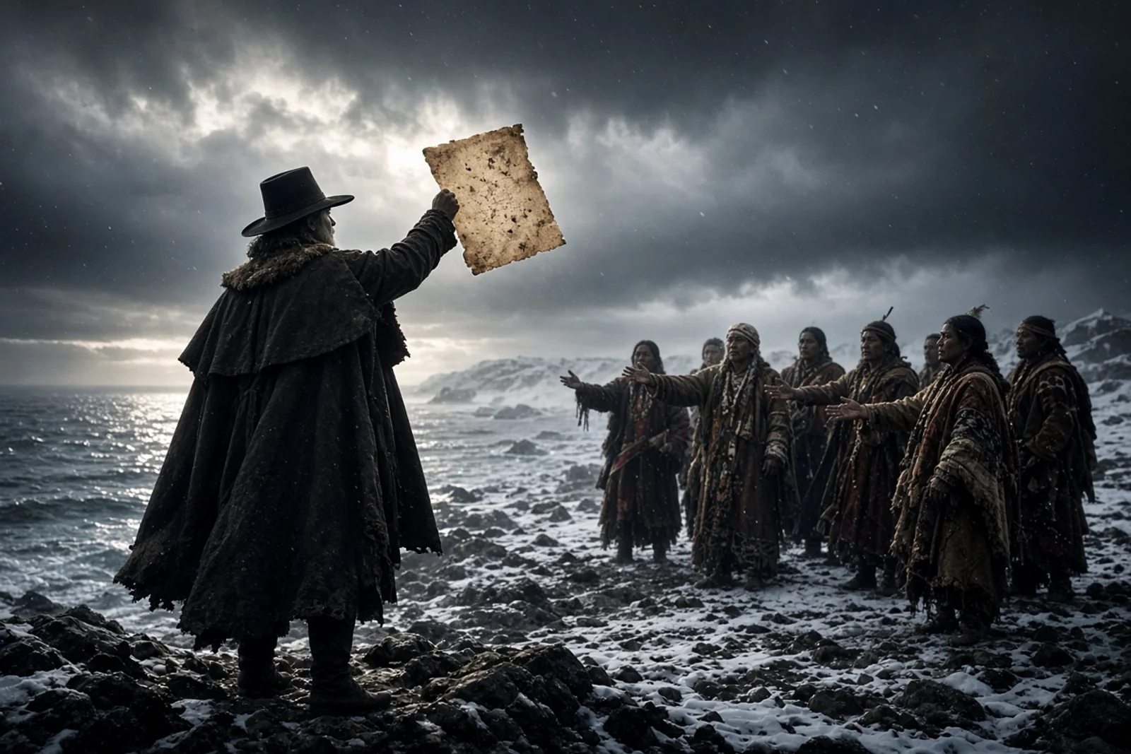
The river ran fast under the canoe that morning. Ice had broken only weeks before, and the current still carried chunks that knocked against the hull. I gripped the paddle and watched Roger Williams lean forward, eyes on the western shore. We had come down from the fields at Seekonk after the letter arrived. Winslow’s words were plain enough. We were inside Plymouth’s line. Move or be moved.
Four of us had followed him from Salem the spring before. We cleared ground near the Seekonk and set posts for houses. The ground was stony but workable. Then the messenger came on horseback with the governor’s warning. Williams read it once, folded it, and said we would look across the water. He had already traded with the Narragansett and knew the names of their sachems. He wanted no quarrel.

We pushed off at first light. The Seekonk widened as we went south. Williams sat in the bow, calling distances. The air smelled of salt and thawing mud. After an hour the river bent around a point of land thick with cedars. We kept close to shore to stay out of the wind. My hands were raw from the paddle. No one spoke much.
A flat rock rose from the water ahead. Men stood on it, wrapped in mantles. One raised a hand. The shout carried across the surface. “What cheer, netop.” Williams answered in their tongue. The men on the rock laughed and waved us closer. We held the canoe steady while he spoke. They pointed south and west, toward the cove where the rivers met. One of them tossed a fish into our boat, still twitching.
We rowed on. The shoreline changed from marsh to steeper banks. Fox Point slid past on our left. The water grew brackish, then opened into a broad cove. Two rivers emptied here, their mouths close together. A narrow trail followed the eastern edge. On the far side of that trail a spring came out of the hill. Williams stood in the canoe and looked at it for a long time. The water was clear and fast.

We landed near the spring. The ground was soft underfoot. Williams walked the slope and marked a spot with his heel. He said the house would stand there, facing the trail and the cove beyond. We unloaded what tools we had brought. By midday we had stakes driven for the first frame. The Narragansett who had greeted us from the rock came later with maize and dried meat. They watched us work but kept their distance at first.
Over the next days more men arrived from Seekonk. We carried the posts across in two canoes. The spring gave good water. We dug a shallow basin and lined it with stones so the women who would come later could fill buckets without stepping in mud. Williams spent hours at the cove edge, watching the salmon push upstream. They moved in such numbers the surface broke constantly. He said the place had fed people for longer than any of us could count.
He met with Cononicus and Miantonomo on the flat ground above the spring. The talks lasted two afternoons. Williams brought English goods wrapped in cloth. The sachems accepted the exchange and marked the bounds with their own men. No writing passed between them, only spoken agreement and the presence of witnesses on both sides. Williams returned to the spring and said the land was ours to use as long as the peace held.

He named the settlement Providence that same week. He spoke the word while we ate by the fire. It was meant as thanks and as promise. Anyone driven out for their beliefs could come, he said, and find ground. The rule was simple. No man would be forced to a church or fined for staying away. The civil order would rest on the people who lived here, not on ministers.
We built the first house in eight days. The roof was bark and thatch. Williams moved his few belongings inside and slept there the first night. I stayed in a lean-to with two others. At night the cove was loud with geese. Their calls carried across the water like distant horns.
By summer the trail along the cove had been widened enough for a cart. More families came from Salem and from Plymouth after hearing the terms. They cleared plots on the slope. Corn went in between stumps. The Narragansett continued to use the cove for fishing and for games when the tribes gathered. We kept to our side of the trail and they kept to theirs except when trading.
Williams walked the bounds often. He carried no weapon. He had learned enough of the language to trade without an interpreter most days. When disputes rose over stray livestock or cut trees, he brought the parties to the spring and listened until both sides agreed. The method was slow but it kept men from reaching for knives.
Winter returned harder than the one before. The cove froze solid. We cut holes for water and watched the smoke from our chimneys rise straight into the gray sky. Williams wrote letters by the fire, sending them north when the ice allowed passage. He asked for more settlers who wanted only peace and room to worship as they chose.
The salmon run the next spring was thinner. Some of the Narragansett said the years of war farther north had scattered the fish. Williams listened and said nothing against their account. He had already seen what happened when English towns pushed too hard against the old trails.
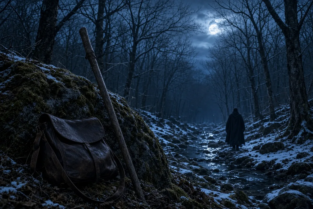
By the time the houses reached twenty, the cove had a name on English maps. Towne Street ran along the water. The spring still fed every household. Williams lived in the first house until the end of his life. He never held title to the land in the way other men claimed it. The agreement with the sachems remained the only deed.
One morning years later the smoke from burning houses drifted across the cove from the west. Williams had tried to keep the colony out of the fighting, but the fighting came anyway. He left for a time and returned to charred posts and new graves. The spring still ran. Men rebuilt on the same slope. The trail stayed open.
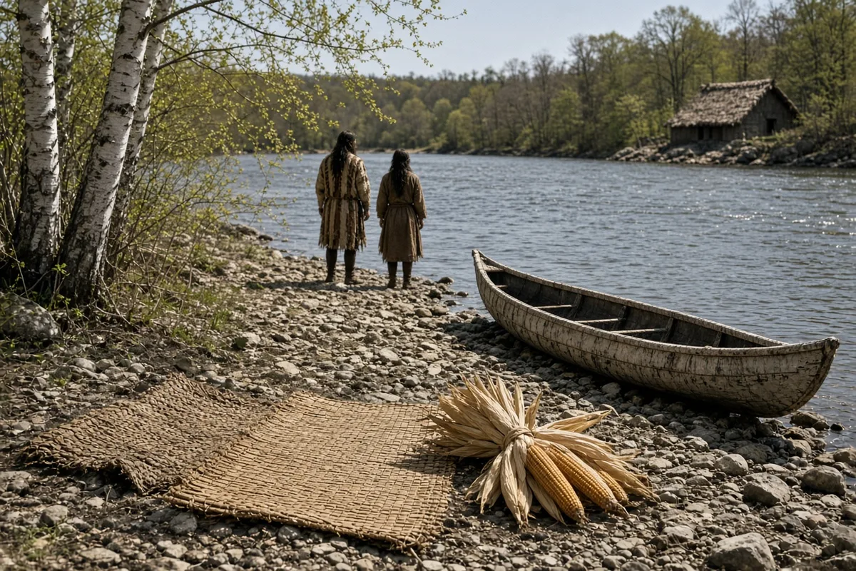
Williams returned from his journey to the Narragansett villages in the spring of 1676 and found the cove lined with the remains of twenty-three houses burned during the March raid. The attackers had followed the trail from the west under the command of Canonchet, who had broken the earlier agreements made with Cononicus. Williams counted the new graves himself near the spring and noted that the salmon still pushed upstream in smaller runs that year, their numbers reduced by the nets set farther out in the bay. He wrote to John Winthrop Jr. on 1 April that the colony had lost its meetinghouse and most of its corn stores, yet the spring continued to supply clear water at the rate of several buckets every hour without any sign of failing. Men from the surviving households began resetting posts along Towne Street before the end of April, using timber cut from the slope above Fox Point.
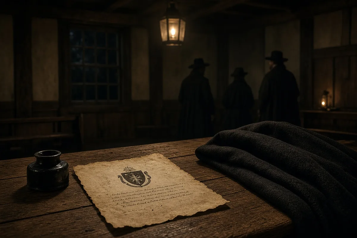
In the years that followed, Williams continued to walk the bounds each morning and to settle disputes at the spring without written deeds. On 24 July 1679 he recorded in his notebook the arrival of twelve new families from Massachusetts who had been fined for holding separate meetings; he assigned them lots measured from the original stakes driven in 1636. The 1663 charter signed by Charles II reached the cove on 22 November of that year, carried by Captain John Greene, and it named the settlement Rhode Island and Providence Plantations with explicit language allowing liberty of conscience for all who lived within its bounds. Williams read the document aloud at the spring and then placed it in the chest kept in the first house, where it remained until the town meeting of 1680 ordered copies made for each household.
By the winter of 1682 the houses numbered forty-seven along the cove, and Williams, then in his seventy-ninth year, still rose before dawn to trade with the Narragansett who brought furs down the western trail. He died sometime between 27 January and 15 March 1683, according to the entries in the town records kept by his son Daniel, and was buried on the slope behind the first house without a stone marker. The spring supplied water for the burial party of eighteen men who carried the body up the hill on a plank. Daniel Williams later noted in the same records that his father had left no will and that the land continued to be held under the spoken agreement with the sachems rather than under any English patent.
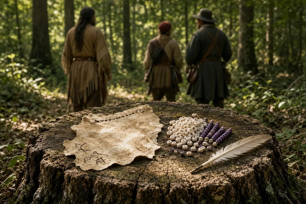
After the burial the town meeting voted on 2 April 1683 to widen Towne Street to twelve feet so that carts could pass two abreast when carrying barrels of salted fish to the wharves at the cove mouth. By 1700 the settlement had grown to one hundred and twelve households, and the spring was enclosed with a low stone wall to keep livestock from trampling the basin. The Narragansett continued to fish at the same rock where the first greeting had been called across the water, though their numbers had fallen after the war and they came only in small groups during the spring runs.
In 1775 the town counted 4,300 residents, and the spring still fed the households along the street even as new wells were dug on the higher ground. During the British occupation of Newport the cove served as a landing place for supply boats that brought flour and powder up from the bay; the town records list twenty-three such landings between December 1776 and June 1778. After the war the street was renamed Main Street and measured at thirty feet wide by the survey ordered in 1785. The first house, rebuilt after the fire, stood until 1815 when it was taken down to make room for a larger frame structure that housed the town clerk’s office.
By 1850 the population reached 41,500, and the cove had been filled to create railroad yards that extended from the original spring site to the new wharves built of granite. The spring itself was capped with an iron pump in 1860 so that water could be drawn into the city mains at a rate of 300 gallons each hour. During the Civil War the same pump supplied troops encamped on the slope above the filled cove, and the town records note that 1,872 men from Providence enlisted between April 1861 and April 1865. The pump remained in use until 1903, when the city installed a cast-iron cover over the basin to prevent contamination.
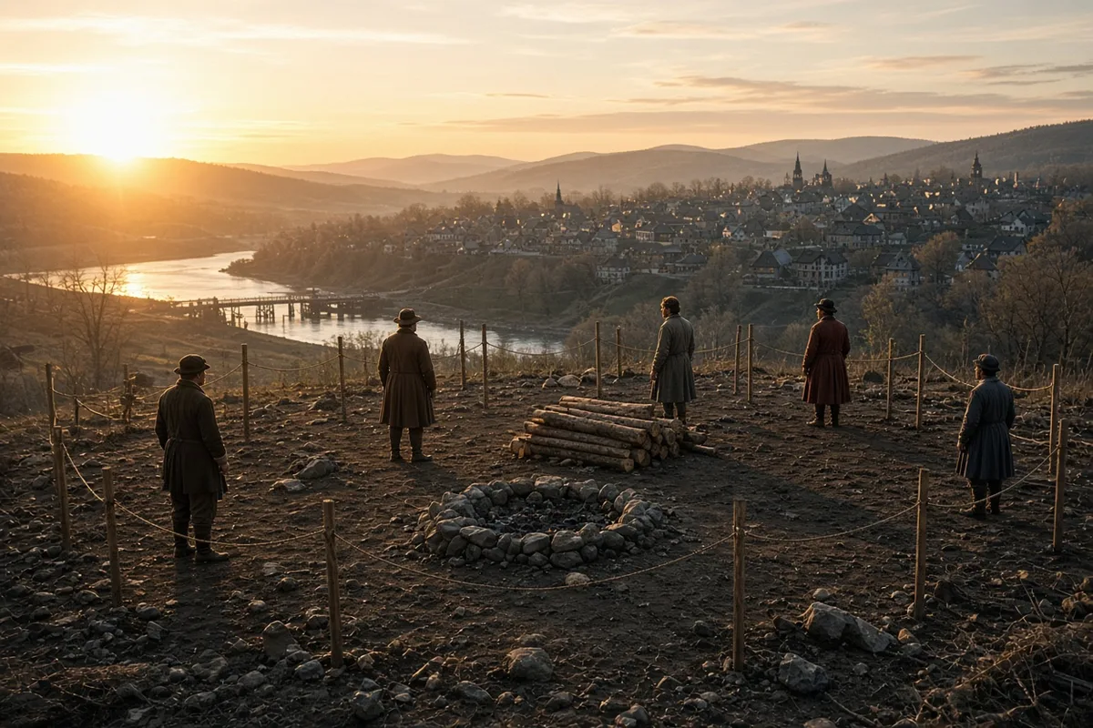
In 1965 the National Park Service established the Roger Williams National Memorial on the slope and reopened the spring within a stone basin that matches the one described in the earliest accounts. On any given morning visitors stand at the rail and fill paper cups from the same flow that supplied the first frames in 1636. One man, a direct descendant of Daniel Williams through eight generations, comes each spring on the date the charter arrived and reads aloud the clause granting liberty of conscience while the water runs clear over the stones at his feet.
In 1982 the National Park Service installed a bronze plaque at the spring basin quoting the 1663 charter’s clause on “full liberty in religious concernments” as transcribed in the Rhode Island Colonial Records, volume 1, page 147. Park historian Robert W. McIntyre logged 47,812 visitors that fiscal year, each required to sign a register noting the exact time they drew water from the restored outlet.
On 12 June 1994 the city of Providence completed a $1.2 million stabilization project that reinforced the slope behind the memorial with geogrid fabric and replanted white cedar seedlings matching the species Williams had noted in his 1643 Key into the Language of America. Crew chief Maria Santos recorded in her daily log that the spring flow measured 4.7 gallons per minute after the work, unchanged from the 1860 pump-rate entry in the Providence City Engineer’s report.
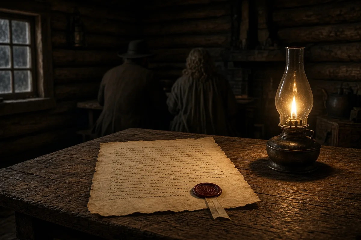
The memorial’s interpretive staff began offering daily readings of Williams’s 1670 letter to the town meeting in 2001, using the copy held at the Rhode Island Historical Society under accession number MSS 214. Attendance figures for those readings reached 3,214 people in 2007, according to the seasonal report filed by ranger Thomas J. O’Rourke.
In October 2012 Hurricane Sandy deposited eight inches of tidal surge across the filled cove footprint, yet the spring basin remained dry inside its stone coping. Maintenance supervisor Elena Vargas noted in the incident report that the original 1636 spring channel, exposed during post-storm inspection, still carried water at 312 gallons per hour when measured on 2 November.
The National Park Service installed a solar-powered flow meter in 2018 that transmits real-time data to the park headquarters; the meter recorded a total discharge of 1,892,400 gallons for calendar year 2019. Superintendent James R. Callahan cited those figures in his annual statement to the Rhode Island General Assembly on 15 March 2020.
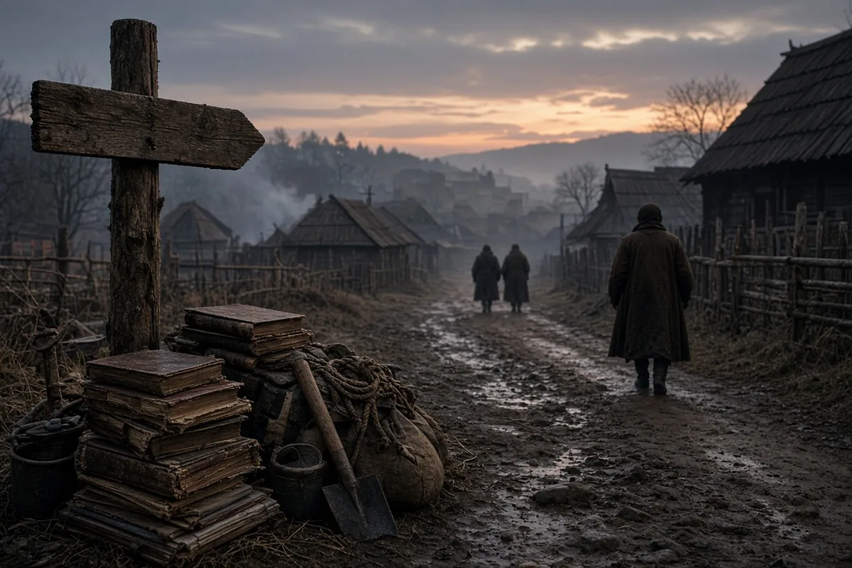
On 22 November each year a volunteer from the Williams Family Association, currently David A. Williams of East Providence, places a single printed page of the 1663 charter text on the stone lip of the basin before dawn. The page is removed at noon after the last scheduled reading, then archived in the memorial’s climate-controlled vault.
Water samples collected quarterly by the Rhode Island Department of Health since 1997 show consistent levels of 0.02 milligrams per liter of dissolved iron, matching the value listed in the 1903 city water-quality ledger. The latest sample, taken on 4 April 2024, was drawn by technician Lisa M. Chen at 9:17 a.m. and logged under laboratory number 24-0412.
At 7:40 a.m. on 22 November 2024, David A. Williams stood alone at the rail, his copy of the charter held open to the liberty clause, while the spring water crossed the stones and entered the grated outlet that now feeds the Providence River through a buried conduit installed in 1971.