



Historic Mason-Dixon Map Set for Auction, Could Fetch $1.2M
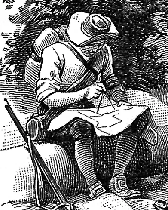
A 76-inch hand-drawn map of the Mason-Dixon Line is scheduled to be auctioned in a livestreamed sale in Asheville, North Carolina, with Brunk Auctions estimating it could bring $800,000 to $1.2 million. Surveyors Charles Mason and Jeremiah Dixon originally mapped the boundary to settle a land dispute between colonial Maryland and Pennsylvania, not to divide free and slave states. The line later became a symbol of that division after the 1820 Missouri Compromise used it to mark limits on slavery, and came to represent the North-South split before the Civil War. The map passed from the family of Pennsylvania attorney Benjamin Chew to publisher Malcolm S. Forbes, who bought it in 1982 for $360,000, outbidding the Library of Congress; part of the map is now at Princeton University.